Product details
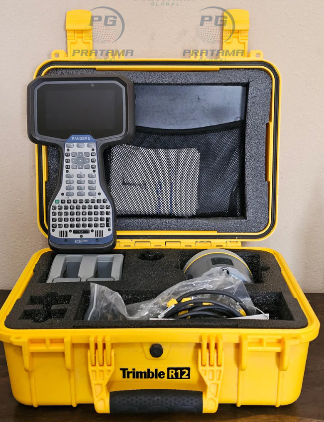
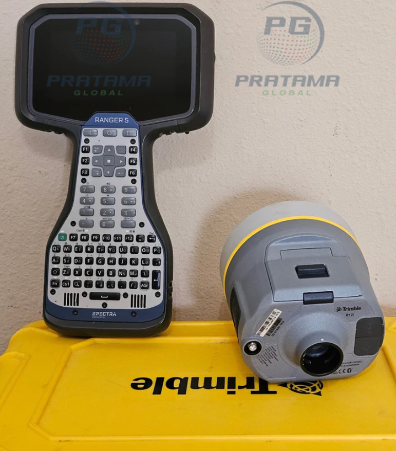
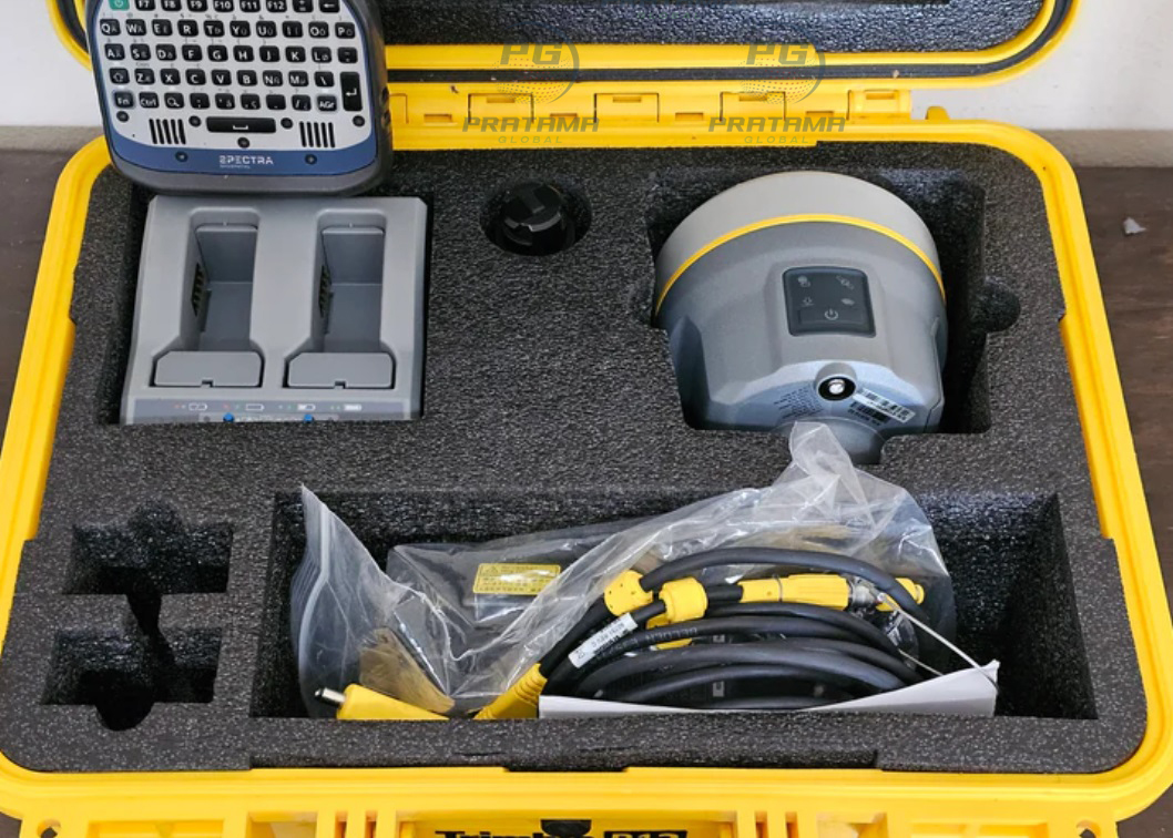
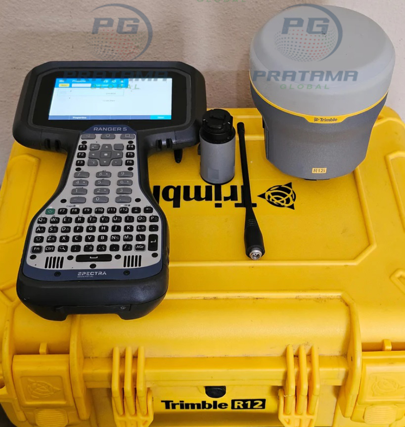
Trimble R12i UHF GNSS Receiver with Inertial Tilt Compensation | High-Precision RTK Survey Receiver
The Trimble R12i UHF Receiver is a professional-grade GNSS receiver designed to deliver fast, reliable, and highly accurate positioning in challenging environments. Featuring integrated UHF radio communication, advanced GNSS tracking, and Trimble’s inertial tilt compensation technology, the R12i allows surveyors to measure points quickly without needing to keep the survey pole perfectly level.
Powered by advanced GNSS technology, the Trimble R12i maintains strong satellite tracking under trees, near buildings, and in other difficult conditions. Its rugged construction, long battery life, and intuitive operation make it an excellent choice for surveying, construction layout, engineering, topographic mapping, and GIS data collection.
High-precision RTK GNSS positioning
Integrated UHF radio for reliable RTK communication
IMU-based tilt compensation without calibration
Fast satellite acquisition and signal tracking
Excellent performance in difficult environments
Rugged IP-rated design for field use
Long operating time for all-day productivity
Compatible with Trimble field software and workflows
Key Features
Multi-constellation GNSS receiver
Integrated UHF radio modem
Trimble TIP™ tilt compensation technology
Advanced signal tracking technology
High-accuracy RTK and static surveying
Built-in Bluetooth and wireless connectivity
Durable weather-resistant housing
Lightweight and easy to carry
Supports modern surveying applications
Optimized for professional field productivity
Specifications
Product Name: Trimble R12i UHF Receiver
Receiver Type: Professional GNSS RTK Receiver
Positioning Technology: Multi-constellation GNSS
Tilt Compensation: Integrated IMU technology
Radio: Built-in UHF Radio
Communication: Bluetooth, USB, Wireless
Accuracy: Survey-grade RTK positioning
Applications: RTK, Static, GIS, Mapping, Construction
Housing: Rugged outdoor design
Environmental Protection: IP-rated for harsh field conditions
Power: Rechargeable battery system
Operation: Suitable for all-weather surveying
Applications
Land surveying
Topographic surveys
Construction layout
Engineering surveys
Boundary surveys
Utility mapping
GIS data collection
Road and highway projects
Mining surveys
Infrastructure development
Environmental monitoring
Agricultural surveying