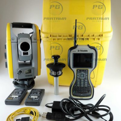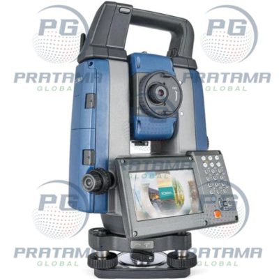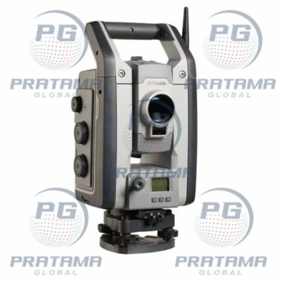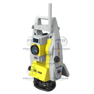
Product details
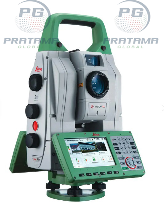
Leica Nova MS60 Robotic Total Station – MultiStation for High-Precision Surveying and 3D Measurement
The Leica Nova MS60 Robotic Total Station is an advanced MultiStation that combines high-precision total station measurements, 3D laser scanning, GNSS integration, and digital imaging in a single instrument. Designed for surveyors, engineers, and construction professionals, it delivers fast, accurate, and efficient data collection for complex field projects.
With robotic operation, automated target tracking, and high-speed scanning capabilities, the MS60 increases productivity while reducing field time. It is ideal for surveying, construction layout, topographic mapping, deformation monitoring, BIM workflows, and infrastructure documentation.
Combines total station, 3D scanning, and imaging in one device
High-precision robotic measurements for improved accuracy
Fast data collection for increased productivity
Automated target tracking and remote operation
Supports BIM, CAD, and digital twin workflows
Reduces equipment requirements in the field
Reliable performance in demanding environments
Ideal for large and complex surveying projects
Key Features
Robotic total station with automatic target tracking
Integrated 3D laser scanning capability
High-resolution digital imaging
Accurate angle and distance measurements
Fast prism and reflectorless measurement
One-person operation for greater efficiency
Touchscreen interface with intuitive software
Compatible with Leica surveying software and workflows
Durable design for professional field use
Supports GNSS integration and data connectivity
Specifications
Product Name: Leica Nova MS60 Robotic Total Station
Product Type: Robotic MultiStation
Measurement Technology: Robotic Total Station with 3D Scanning
Distance Measurement: Prism and Reflectorless
Scanning Capability: Integrated High-Speed 3D Scanning
Imaging: Integrated Digital Camera
Operation: Robotic One-Person Surveying
Connectivity: Wireless and USB Data Transfer
Display: Color Touchscreen
Applications: Surveying, Construction, Engineering, Monitoring, BIM
Brand: Leica Geosystems
Applications
The Leica Nova MS60 Robotic Total Station is ideal for:
Land surveying
Construction layout
Topographic surveys
Engineering surveys
Building Information Modeling (BIM)
Infrastructure construction
Road and highway projects
Bridge inspection
Tunnel surveying
Rail surveying
Mining operations
Utility mapping
Industrial plant surveys
Deformation monitoring
3D reality capture
As-built documentation
Why Choose the Leica Nova MS60 Robotic Total Station?
The Leica Nova MS60 combines the functionality of a robotic total station, laser scanner, and imaging system into one powerful instrument. Its advanced automation, precise measurements, and versatile capabilities help professionals complete surveying and construction projects more efficiently while maintaining exceptional accuracy.