Product details
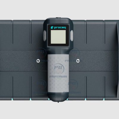
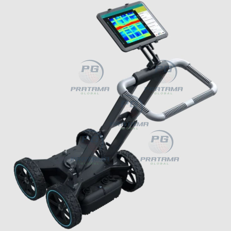
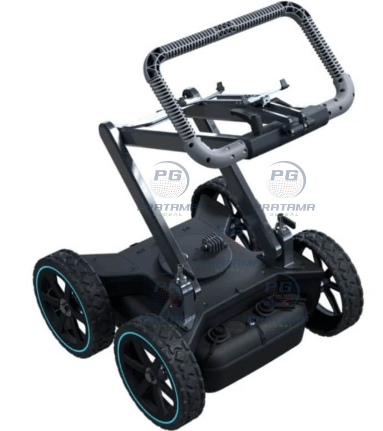
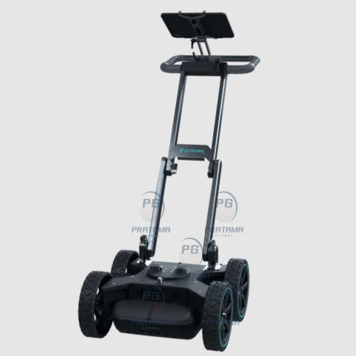
Proceq GS8000 Pro GPR Scanner for Concrete & Utility Detection
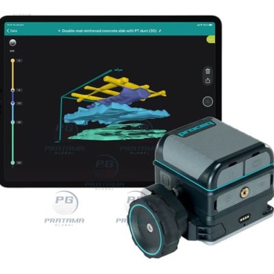
The New Proceq GS8000 Pro Subsurface Mapping Ground Penetrating Radar (GPR) is an advanced all-in-one underground scanning and utility mapping solution designed for fast, accurate, and real-time subsurface visualization. Powered by cutting-edge Swiss-made Stepped-Frequency Continuous-Wave (SFCW) radar technology, the GS8000 Pro delivers exceptional underground imaging clarity in both 2D and 3D while enabling seamless digital mapping and reporting workflows.
Built for utility locating, geophysical surveys, civil engineering, infrastructure inspection, and subsurface investigations, the GS8000 Pro allows users to scan and digitize underground features in real time while walking. Instantly visualize buried utilities, pipes, cables, voids, and structures directly on-site and export findings to CAD and GIS platforms for efficient project documentation and analysis.
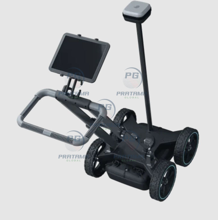
With its ultra-wideband frequency range from 40 – 3440 MHz, the GS8000 Pro provides superior depth penetration, outstanding target resolution, and precise object detection. The integrated high-accuracy multi-band GNSS system supports GPS, Glonass, Galileo, and Beidou for centimeter-level positioning accuracy and reliable geolocation data.
Designed for maximum productivity and ease of use, the GS8000 Pro features intuitive workflows, wireless connectivity, cloud-ready collaboration, Augmented Reality (AR) visualization, instant report generation, and remote data access from anywhere at any time.
Key Features
Real-time underground mapping in 2D and 3D
Advanced Swiss-made SFCW GPR technology
Ultra-wideband frequency range: 40 – 3440 MHz
High-resolution subsurface imaging
Accurate utility and underground object detection
Integrated multi-band GNSS positioning system
Real-time AR visualization and mapping
Fast acquisition speeds up to 80 km/h
Cloud-based collaboration and data sharing
CAD and GIS export compatibility
Rugged IP65-rated field-ready design
Lightweight and portable scanning system
Applications
Underground utility locating
Subsurface mapping and surveying
Civil engineering and infrastructure inspection
Road and bridge assessment
Geophysical investigations
Construction site scanning
Non-destructive testing (NDT)
Technical Specifications
Radar Technology
Stepped-frequency Continuous-Wave (SFCW) GPR
Frequency range: 40 – 3440 MHz
Effective bandwidth: 3200 MHz
Performance
Scan rate: 500 Hz
Spatial interval: Up to 100 scans/m
Acquisition speed: Up to 80 km/h (50 mph)
Minimum detectable target size: 1 cm
Positioning System
Multiband GNSS: GPS, Glonass, Galileo, Beidou
Typical real-time 3D accuracy: 1 – 5 cm
NRTK and SSR compatible
Measurement Modes
Line Scan
Grid Scan
Free Path
Visualization Modes
A-Scan
Line Scan
Migrated Line Scan
Time Slice View
Map View
Augmented Reality (AR)
Connectivity
WiFi
Ethernet
USB-A, USB-B, USB-C
Lemo connection
Power & Battery
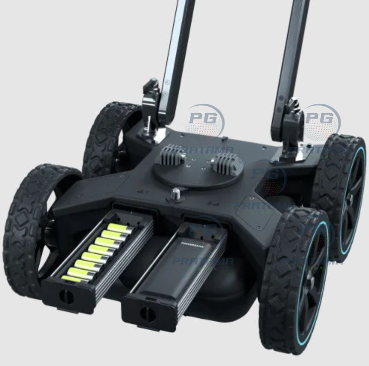
Removable flight-safe battery pack
USB-C power bank support
Up to full working day autonomy
Environmental Protection
IP65-rated protection
Operating temperature: -10°C to 50°C
Included Accessories
Battery pack
Power bank drawer
Wear plate
GNSS pole fixation kit
Wheel position adapter kit
30 cm wheel
Universal tablet holder
Sun and rain tablet cover
Umbrella holder kit
RAM-mount tablet adapter
DB9 to Lemo adapter
Lemo cable
Hard transportation case