
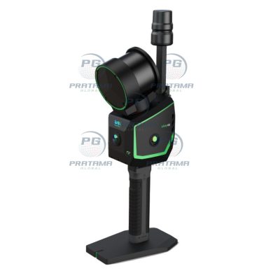
GREENVALLEY LiGrip O2 SLAM 3D LiDAR Scanner
$3,570.00
The GREENVALLEY LiGrip O2 SLAM 3D LiDAR Scanner with GNSS RTK is a professional mobile mapping system designed for fast and accurate 3D data capture in indoor and outdoor environments. Featuring a 120-meter scanning range, 32-channel LiDAR sensor, and integrated GNSS RTK positioning, the LiGrip O2 delivers high-precision point cloud generation for surveying, BIM, construction, forestry, mining, and digital twin applications. Its lightweight handheld design ensures efficient SLAM-based mapping with exceptional mobility and productivity.
The GREENVALLEY LiGrip O2 SLAM 3D LiDAR Scanner with GNSS RTK is a professional mobile mapping system designed for fast and accurate 3D data capture in indoor and outdoor environments. Featuring a 120-meter scanning range, 32-channel LiDAR sensor, and integrated GNSS RTK positioning, the LiGrip O2 delivers high-precision point cloud generation for surveying, BIM, construction, forestry, mining, and digital twin applications. Its lightweight handheld design ensures efficient SLAM-based mapping with exceptional mobility and productivity.