
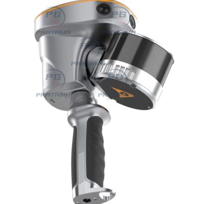
CHCNAV RS10 SLAM 3D LiDAR Scanner
$4,780.00
Achieve up to 2 cm absolute accuracy with powerful GNSS RTK + SLAM fusion. Capture dense, georeferenced point clouds instantly—no loop closure required—saving time and simplifying workflows in challenging environments like urban areas or underground spaces.
Achieve up to 2 cm absolute accuracy with powerful GNSS RTK + SLAM fusion. Capture dense, georeferenced point clouds instantly—no loop closure required—saving time and simplifying workflows in challenging environments like urban areas or underground spaces.
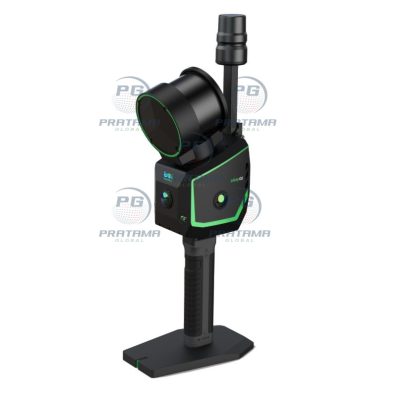
GREENVALLEY LiGrip O2 SLAM 3D LiDAR Scanner
$3,570.00
The GREENVALLEY LiGrip O2 SLAM 3D LiDAR Scanner with GNSS RTK is a professional mobile mapping system designed for fast and accurate 3D data capture in indoor and outdoor environments. Featuring a 120-meter scanning range, 32-channel LiDAR sensor, and integrated GNSS RTK positioning, the LiGrip O2 delivers high-precision point cloud generation for surveying, BIM, construction, forestry, mining, and digital twin applications. Its lightweight handheld design ensures efficient SLAM-based mapping with exceptional mobility and productivity.
The GREENVALLEY LiGrip O2 SLAM 3D LiDAR Scanner with GNSS RTK is a professional mobile mapping system designed for fast and accurate 3D data capture in indoor and outdoor environments. Featuring a 120-meter scanning range, 32-channel LiDAR sensor, and integrated GNSS RTK positioning, the LiGrip O2 delivers high-precision point cloud generation for surveying, BIM, construction, forestry, mining, and digital twin applications. Its lightweight handheld design ensures efficient SLAM-based mapping with exceptional mobility and productivity.